
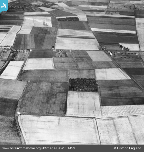
EAW051459 ENGLAND (1953). Fields around King's Covert and New Cut Lane, Halsall Moss, 1953
© Copyright OpenStreetMap contributors and licensed by the OpenStreetMap Foundation. 2025. Cartography is licensed as CC BY-SA.
Nearby Images (7)
EAW051459

EAW051463

EAW051462

EAW051464

EAW051460

EAW051465

EAW051461

Details
| Title | [EAW051459] Fields around King's Covert and New Cut Lane, Halsall Moss, 1953 |
| Reference | EAW051459 |
| Date | 12-August-1953 |
| Link | |
| Place name | HALSALL MOSS |
| Parish | HALSALL |
| District | |
| Country | ENGLAND |
| Easting / Northing | 333767, 413044 |
| Longitude / Latitude | -3.0011931561166, 53.609521724944 |
| National Grid Reference | SD338130 |
Pins
Be the first to add a comment to this image!