
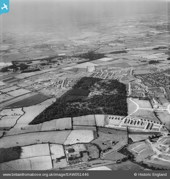
EAW051446 ENGLAND (1953). Housing development around Hazel and Thoroughsale Woods, Corby, 1953
© Copyright OpenStreetMap contributors and licensed by the OpenStreetMap Foundation. 2026. Cartography is licensed as CC BY-SA.
Nearby Images (4)
EAW051446

EAW045570

EAW045432

EAW051447

Details
| Title | [EAW051446] Housing development around Hazel and Thoroughsale Woods, Corby, 1953 |
| Reference | EAW051446 |
| Date | 12-August-1953 |
| Link | |
| Place name | CORBY |
| Parish | |
| District | |
| Country | ENGLAND |
| Easting / Northing | 487372, 289206 |
| Longitude / Latitude | -0.71294569658469, 52.493389713541 |
| National Grid Reference | SP874892 |
Pins
Be the first to add a comment to this image!