
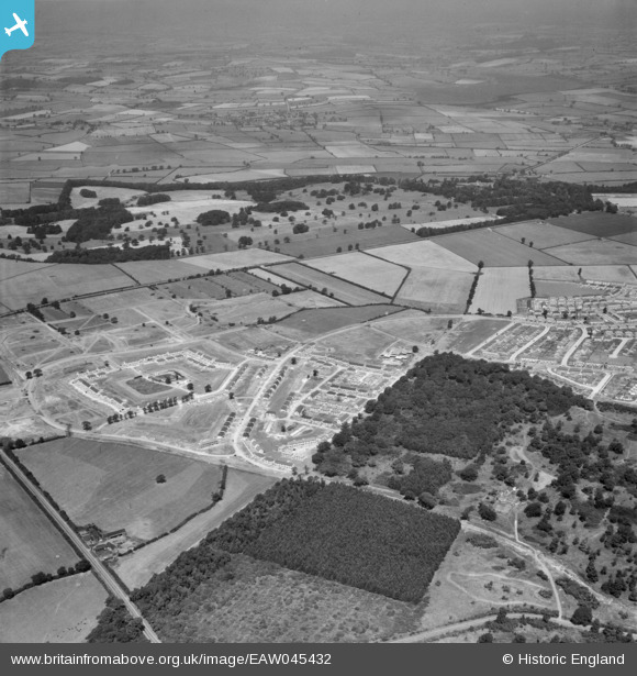
EAW045432 ENGLAND (1952). The residential area surrounding Willow Brook Road under development and Rockingham Park, Corby, from the south-east, 1952
© Copyright OpenStreetMap contributors and licensed by the OpenStreetMap Foundation. 2026. Cartography is licensed as CC BY-SA.
Nearby Images (4)
EAW045432

EAW045570

EAW051446

EAW051447

Details
| Title | [EAW045432] The residential area surrounding Willow Brook Road under development and Rockingham Park, Corby, from the south-east, 1952 |
| Reference | EAW045432 |
| Date | 6-August-1952 |
| Link | |
| Place name | CORBY |
| Parish | |
| District | |
| Country | ENGLAND |
| Easting / Northing | 487246, 289132 |
| Longitude / Latitude | -0.71482065661244, 52.492744719135 |
| National Grid Reference | SP872891 |
Pins

Corby girl |
Thursday 5th of November 2015 11:09:34 AM |