
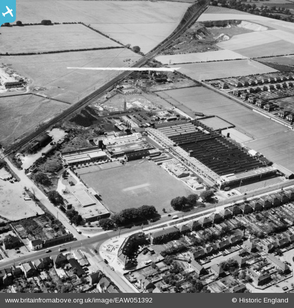
EAW051392 ENGLAND (1953). The AC-Delco Works, Dunstable, 1953. This image was marked by Aerofilms Ltd for photo editing.
© Copyright OpenStreetMap contributors and licensed by the OpenStreetMap Foundation. 2026. Cartography is licensed as CC BY-SA.
Nearby Images (38)
EAW051392

EAW041803

EAW041794

EAW051389

EAW051386

EAW051388

EAW051390

EAW041791

EAW041805

EAW051387

EAW028373

EAW041795

EAW028379

EAW028380

EAW041789

EAW051391

EAW028374

EAW041790

EAW028377

EAW041788

EAW041793

EAW041798

EAW028378

EAW041792

EAW028384

EAW041796

EAW028376

EAW041801

EAW041797

EAW041806

EAW028381

EAW028382

EAW041800

EAW041804

EAW028375

EAW041799

EAW028383

EAW041802

Details
| Title | [EAW051392] The AC-Delco Works, Dunstable, 1953. This image was marked by Aerofilms Ltd for photo editing. |
| Reference | EAW051392 |
| Date | 12-August-1953 |
| Link | |
| Place name | DUNSTABLE |
| Parish | DUNSTABLE |
| District | |
| Country | ENGLAND |
| Easting / Northing | 500873, 222765 |
| Longitude / Latitude | -0.53391637439853, 51.893857502446 |
| National Grid Reference | TL009228 |
Pins
Be the first to add a comment to this image!