
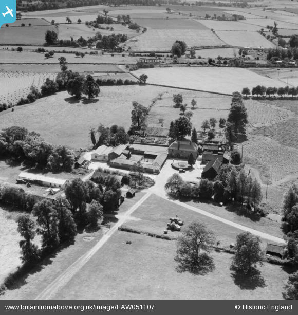
EAW051107 ENGLAND (1953). Garland's Farm, Steeple Bumpstead, 1953
© Copyright OpenStreetMap contributors and licensed by the OpenStreetMap Foundation. 2026. Cartography is licensed as CC BY-SA.
Nearby Images (6)
EAW051107

EAW051104

EAW051106

EAW051105

EAW051108

EAW051101

Details
| Title | [EAW051107] Garland's Farm, Steeple Bumpstead, 1953 |
| Reference | EAW051107 |
| Date | 10-August-1953 |
| Link | |
| Place name | STEEPLE BUMPSTEAD |
| Parish | STEEPLE BUMPSTEAD |
| District | |
| Country | ENGLAND |
| Easting / Northing | 568106, 242062 |
| Longitude / Latitude | 0.45192447174848, 52.050992648058 |
| National Grid Reference | TL681421 |
Pins
Be the first to add a comment to this image!