
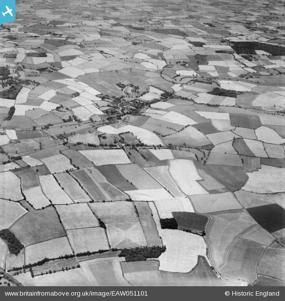
EAW051101 ENGLAND (1953). Garland's Farm, the village and the surrounding countryside, Steeple Bumpstead, 1953
© Copyright OpenStreetMap contributors and licensed by the OpenStreetMap Foundation. 2026. Cartography is licensed as CC BY-SA.
Nearby Images (7)
EAW051101

EAW051108

EAW051105

EAW051106

EAW051099

EAW051104

EAW051107

Details
| Title | [EAW051101] Garland's Farm, the village and the surrounding countryside, Steeple Bumpstead, 1953 |
| Reference | EAW051101 |
| Date | 10-August-1953 |
| Link | |
| Place name | STEEPLE BUMPSTEAD |
| Parish | STEEPLE BUMPSTEAD |
| District | |
| Country | ENGLAND |
| Easting / Northing | 567910, 242076 |
| Longitude / Latitude | 0.44907540385549, 52.051177835808 |
| National Grid Reference | TL679421 |
Pins
Be the first to add a comment to this image!