
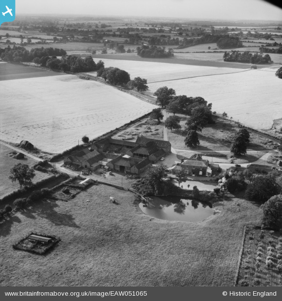
EAW051065 ENGLAND (1953). Park Farm, Bylaugh Park, from the south-east, 1953
© Copyright OpenStreetMap contributors and licensed by the OpenStreetMap Foundation. 2026. Cartography is licensed as CC BY-SA.
Nearby Images (9)
EAW051065

EAW050984

EAW050981

EAW051064

EAW050983

EAW050982

EAW050990

EAW050991

EAW050980

Details
| Title | [EAW051065] Park Farm, Bylaugh Park, from the south-east, 1953 |
| Reference | EAW051065 |
| Date | 3-August-1953 |
| Link | |
| Place name | BYLAUGH PARK |
| Parish | BYLAUGH |
| District | |
| Country | ENGLAND |
| Easting / Northing | 603106, 318362 |
| Longitude / Latitude | 1.0079872842474, 52.724367507503 |
| National Grid Reference | TG031184 |
Pins
Be the first to add a comment to this image!