
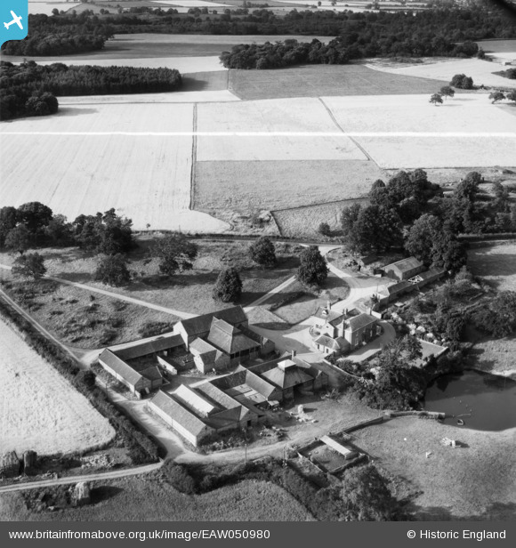
EAW050980 ENGLAND (1953). Park Farm, Bylaugh Park, 1953. This image was marked by Aerofilms Ltd for photo editing.
© Copyright OpenStreetMap contributors and licensed by the OpenStreetMap Foundation. 2026. Cartography is licensed as CC BY-SA.
Nearby Images (9)
EAW050980

EAW050982

EAW050983

EAW051064

EAW050984

EAW050981

EAW051065

EAW050991

EAW050990

Details
| Title | [EAW050980] Park Farm, Bylaugh Park, 1953. This image was marked by Aerofilms Ltd for photo editing. |
| Reference | EAW050980 |
| Date | 31-July-1953 |
| Link | |
| Place name | BYLAUGH PARK |
| Parish | BYLAUGH |
| District | |
| Country | ENGLAND |
| Easting / Northing | 603068, 318504 |
| Longitude / Latitude | 1.0075131410347, 52.725656682134 |
| National Grid Reference | TG031185 |
Pins
Be the first to add a comment to this image!