
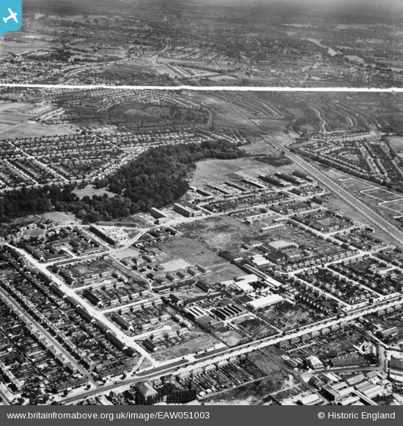
EAW051003 ENGLAND (1953). The Butts Farm Estate and environs, Hanworth, 1953. This image was marked by Aerofilms Ltd for photo editing.
© Copyright OpenStreetMap contributors and licensed by the OpenStreetMap Foundation. 2026. Cartography is licensed as CC BY-SA.
Nearby Images (10)
EAW051003

EAW051547

EAW051548

EAW051545

EAW051549

EAW051546

EAW051009

EAW051004

EAW051007

EAW051005

Details
| Title | [EAW051003] The Butts Farm Estate and environs, Hanworth, 1953. This image was marked by Aerofilms Ltd for photo editing. |
| Reference | EAW051003 |
| Date | 3-August-1953 |
| Link | |
| Place name | HANWORTH |
| Parish | |
| District | |
| Country | ENGLAND |
| Easting / Northing | 512906, 172664 |
| Longitude / Latitude | -0.3752958710427, 51.441211702546 |
| National Grid Reference | TQ129727 |
Pins

surveyme |
Sunday 1st of January 2017 10:32:00 PM | |
|
Brian |
Tuesday 10th of February 2015 12:02:18 PM | |
|
Brian |
Tuesday 10th of February 2015 10:44:52 AM | |
|
Brian |
Tuesday 10th of February 2015 10:43:39 AM | |
|
Brian |
Tuesday 10th of February 2015 10:37:21 AM | |
|
Brian |
Tuesday 10th of February 2015 10:35:44 AM | |
|
Brian |
Tuesday 10th of February 2015 10:30:45 AM | |
|
Brian |
Tuesday 10th of February 2015 10:29:44 AM |