
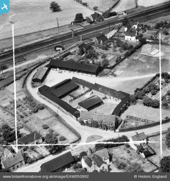
EAW050892 ENGLAND (1953). Whitwell Farm, Offord Cluny, 1953. This image was marked by Aerofilms Ltd for photo editing.
© Copyright OpenStreetMap contributors and licensed by the OpenStreetMap Foundation. 2026. Cartography is licensed as CC BY-SA.
Nearby Images (10)
EAW050892

EAW050895

EAW050893

EAW050894

EAW050896

EAW050897

EAW050899

EAW050890

EAW050891

EAW050898

Details
| Title | [EAW050892] Whitwell Farm, Offord Cluny, 1953. This image was marked by Aerofilms Ltd for photo editing. |
| Reference | EAW050892 |
| Date | 25-July-1953 |
| Link | |
| Place name | OFFORD CLUNY |
| Parish | OFFORD CLUNY AND OFFORD D'ARCY |
| District | |
| Country | ENGLAND |
| Easting / Northing | 521931, 267330 |
| Longitude / Latitude | -0.21206259420165, 52.290165198681 |
| National Grid Reference | TL219673 |
Pins
Be the first to add a comment to this image!