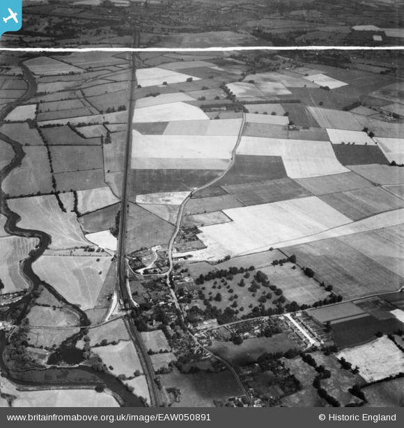
EAW050891 ENGLAND (1953). The village and environs, Offord Cluny, from the south, 1953. This image was marked by Aerofilms Ltd for photo editing.

© Copyright OpenStreetMap contributors and licensed by the OpenStreetMap Foundation. 2026. Cartography is licensed as CC BY-SA.

Nearby Images (9)

EAW050891
  0° 0m
EAW050898
  249° 161m
EAW050897
  334° 171m
EAW050894
  316° 176m
EAW050893
  314° 181m
EAW050895
  317° 182m
EAW050892
  315° 185m
EAW050896
  322° 195m
EAW050899
  293° 222m

Details

Title [EAW050891] The village and environs, Offord Cluny, from the south, 1953. This image was marked by Aerofilms Ltd for photo editing.
Reference EAW050891
Date 25-July-1953
Link
Place name OFFORD CLUNY
Parish OFFORD CLUNY AND OFFORD D'ARCY
District
Country ENGLAND
Easting / Northing 522061, 267198
Longitude / Latitude -0.2102051686088, 52.288950060173
National Grid Reference TL221672

Pins

Manor House with Adjoining Flanking Walls, Offord Cluny and Offord D'Arcy 153 High Street, Offord Cluny, Cambridgeshire PE19 5RT Grade 2 listed building - English Heritage Building ID: 54384 House built 1704 by Colonel Sismey. Mid C19 and later additions to rear. Of nine bays, including slightly projecting two bay wings.

totoro
Friday 5th of September 2014 08:41:50 PM
Former Coach House to Manor House Grade 2 listed building - English Heritage Building ID: 54386 C18 red brick with C19 hipped, slate roof

totoro
Friday 5th of September 2014 08:40:33 PM
Church of All Saints, Offord Cluny and Offord D'Arcy High Street, Offord Cluny, Cambridgeshire PE19 5RT Grade 2* listed building - English Heritage Building ID: 54378 The North and South arcades, and the chancel arch remain of the C13 church which was added to and altered in C15 and C16. C15 West tower of pebblestone and Barnack dressings. In 1726 the chancel was rebuilt. The South porch is C19.

totoro
Friday 5th of September 2014 08:39:04 PM
Railway Station - Opened 1851 as "Offord" and renamed in 1876 "Offord and Buckden". Originally Great Northern, then LNER. Closed February 1959. The railway line remains in use and in 2014 there were plans to close two line crossings in the village on safety grounds. The stations to either side- St Neots and Huntingdon, both remain open.

totoro
Friday 5th of September 2014 08:35:29 PM

totoro
Friday 5th of September 2014 08:34:29 PM

totoro
Friday 5th of September 2014 08:33:41 PM
Fitz Farmhouse Grade 2 listed building - English Heritage Building ID: 54389 Early C17 farmhouse., Timber framed, roughcast rendered.

totoro
Friday 5th of September 2014 08:31:50 PM
Porch House Grade 2 listed -English Heritage Building ID: 54392 House dated 1632 on lintel above doorway. Only the wall to the road remains of the original timber framed house. Two storeys with two C17, two storey splayed bays Plain tiled roof with two later gabled dormers. The single storey wing to the North is late C17,

totoro
Friday 5th of September 2014 08:29:47 PM

totoro
Friday 5th of September 2014 08:27:59 PM
Offord Hill Farm

totoro
Friday 5th of September 2014 08:27:25 PM

totoro
Friday 5th of September 2014 08:26:28 PM
River Great Ouse

totoro
Friday 5th of September 2014 08:25:14 PM

totoro
Friday 5th of September 2014 08:24:24 PM
Railway Line - East Coast Main Line

totoro
Friday 5th of September 2014 08:23:45 PM