
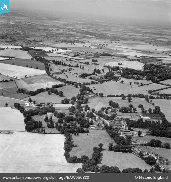
EAW050833 ENGLAND (1953). The village and surrounding countryside, Willian, from the east, 1953
© Copyright OpenStreetMap contributors and licensed by the OpenStreetMap Foundation. 2026. Cartography is licensed as CC BY-SA.
Nearby Images (17)
EAW050833

EAW050832

EAW050831

EAW050818

EAW050830

EAW050820

EAW050829

EAW050828

EAW050821

EAW050823

EAW050827

EAW050824

EAW050819

EAW050826

EAW050817

EAW050822

EAW050825

Details
| Title | [EAW050833] The village and surrounding countryside, Willian, from the east, 1953 |
| Reference | EAW050833 |
| Date | 21-July-1953 |
| Link | |
| Place name | WILLIAN |
| Parish | LETCHWORTH GARDEN CITY |
| District | |
| Country | ENGLAND |
| Easting / Northing | 522489, 230581 |
| Longitude / Latitude | -0.21711788997958, 51.95977192503 |
| National Grid Reference | TL225306 |
Pins
Be the first to add a comment to this image!