
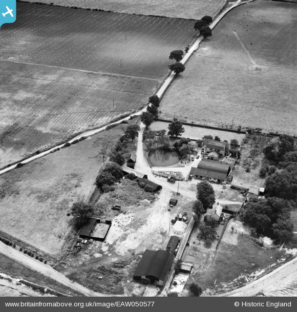
EAW050577 ENGLAND (1953). Stansgate Abbey Farm on the site of Stansgate Priory, Steeple, 1953
© Copyright OpenStreetMap contributors and licensed by the OpenStreetMap Foundation. 2025. Cartography is licensed as CC BY-SA.
Nearby Images (2)
EAW050577

EAW050578

Details
| Title | [EAW050577] Stansgate Abbey Farm on the site of Stansgate Priory, Steeple, 1953 |
| Reference | EAW050577 |
| Date | 10-July-1953 |
| Link | |
| Place name | STEEPLE |
| Parish | STEEPLE |
| District | |
| Country | ENGLAND |
| Easting / Northing | 593141, 205724 |
| Longitude / Latitude | 0.79629163029609, 51.716478324735 |
| National Grid Reference | TL931057 |
Pins
Be the first to add a comment to this image!