
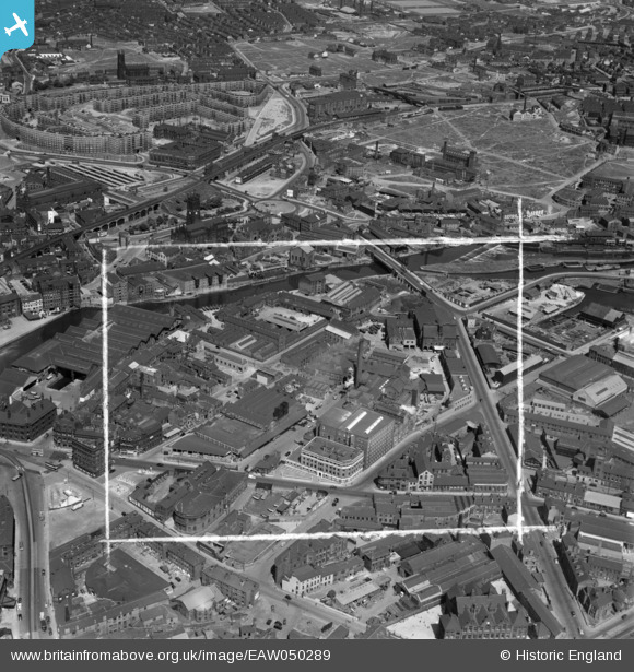
EAW050289 ENGLAND (1953). Tetley's Brewery and environs, Hunslet, 1953. This image was marked by Aerofilms Ltd for photo editing.
© Copyright OpenStreetMap contributors and licensed by the OpenStreetMap Foundation. 2026. Cartography is licensed as CC BY-SA.
Nearby Images (33)
EAW050289

EAW050293

EAW009151

EAW050288

EAW050291

EAW050286

EAW009157

EAW009156

EPW043141

EAW050292

EAW009148

EAW050287

EAW050290

EAW009150

EAW047057

EAW047061

EAW047064

EAW009158

EAW047060

EAW009155

EAW047063

EAW047056

EAW009152

EAW047058

EAW047062

EPW043138

EPW043139

EPW043142

EAW047059

EAW009154

EAW009153

EPW043140

EPW043143

Details
| Title | [EAW050289] Tetley's Brewery and environs, Hunslet, 1953. This image was marked by Aerofilms Ltd for photo editing. |
| Reference | EAW050289 |
| Date | 3-July-1953 |
| Link | |
| Place name | HUNSLET |
| Parish | |
| District | |
| Country | ENGLAND |
| Easting / Northing | 430596, 433103 |
| Longitude / Latitude | -1.5354920075011, 53.793123309107 |
| National Grid Reference | SE306331 |
Pins

7thSeal |
Friday 13th of December 2019 01:52:33 PM |