
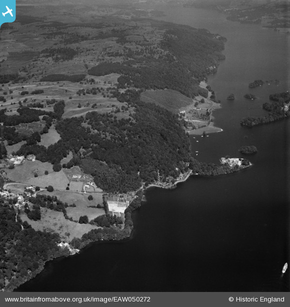
EAW050272 ENGLAND (1953). Station Scar Wood and environs, Far Sawrey, 1953
© Copyright OpenStreetMap contributors and licensed by the OpenStreetMap Foundation. 2026. Cartography is licensed as CC BY-SA.
Nearby Images (3)
EAW050272

EAW050280

EAW050277

Details
| Title | [EAW050272] Station Scar Wood and environs, Far Sawrey, 1953 |
| Reference | EAW050272 |
| Date | 29-June-1953 |
| Link | |
| Place name | FAR SAWREY |
| Parish | CLAIFE |
| District | |
| Country | ENGLAND |
| Easting / Northing | 338696, 495591 |
| Longitude / Latitude | -2.9433116925214, 54.352016311915 |
| National Grid Reference | SD387956 |
Pins

Peter Hoggarth |
Saturday 28th of November 2015 12:13:51 PM | |
|
Peter Hoggarth |
Saturday 28th of November 2015 12:12:38 PM |