
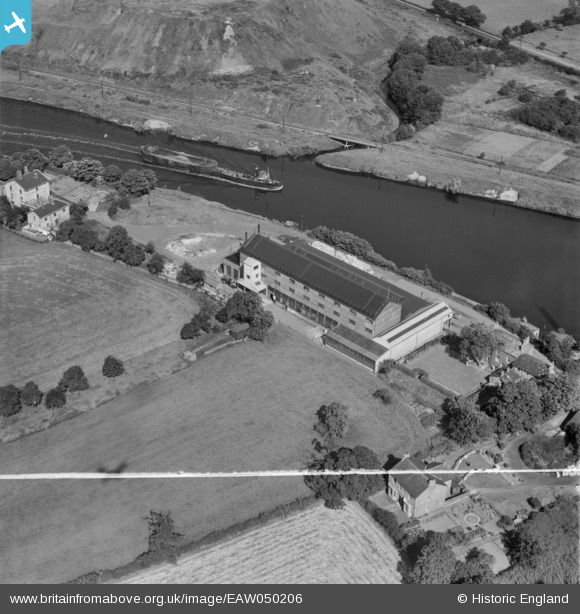
EAW050206 ENGLAND (1953). The Alliance Box Co Ltd Works on the Manchester Ship Canal, Partington, 1953. This image was marked by Aerofilms Ltd for photo editing.
© Copyright OpenStreetMap contributors and licensed by the OpenStreetMap Foundation. 2026. Cartography is licensed as CC BY-SA.
Nearby Images (18)
EAW050206

EAW050205

EAW050207

EAW019931

EAW050211

EAW019929

EAW019930

EAW050208

EAW050210

EAW019934

EAW050204

EAW020010

EAW019936

EAW019935

EAW050209

EAW019933

EAW020011

EAW019932

Details
| Title | [EAW050206] The Alliance Box Co Ltd Works on the Manchester Ship Canal, Partington, 1953. This image was marked by Aerofilms Ltd for photo editing. |
| Reference | EAW050206 |
| Date | 29-June-1953 |
| Link | |
| Place name | PARTINGTON |
| Parish | PARTINGTON |
| District | |
| Country | ENGLAND |
| Easting / Northing | 370352, 391076 |
| Longitude / Latitude | -2.4461170763933, 53.415396250766 |
| National Grid Reference | SJ704911 |
Pins

John T. Pitman |
Saturday 12th of September 2015 11:14:08 PM |