
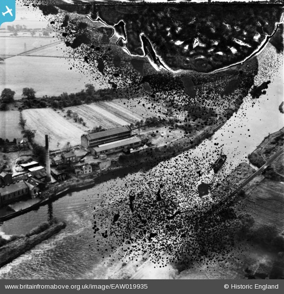
EAW019935 ENGLAND (1948). Millbank Paper Mills, Partington, 1948. This image has been produced from a damaged negative.
© Copyright OpenStreetMap contributors and licensed by the OpenStreetMap Foundation. 2026. Cartography is licensed as CC BY-SA.
Nearby Images (18)
EAW019935

EAW019936

EAW019934

EAW020010

EAW050209

EAW019931

EAW050207

EAW019933

EAW050204

EAW050206

EAW019929

EAW019930

EAW050205

EAW019932

EAW050211

EAW020011

EAW050210

EAW050208

Details
| Title | [EAW019935] Millbank Paper Mills, Partington, 1948. This image has been produced from a damaged negative. |
| Reference | EAW019935 |
| Date | 18-October-1948 |
| Link | |
| Place name | PARTINGTON |
| Parish | PARTINGTON |
| District | |
| Country | ENGLAND |
| Easting / Northing | 370317, 391089 |
| Longitude / Latitude | -2.4466449325545, 53.415511143579 |
| National Grid Reference | SJ703911 |
Pins
Be the first to add a comment to this image!