
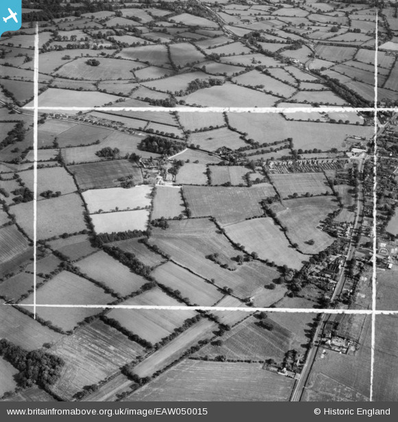
EAW050015 ENGLAND (1953). Aylesbury House and the surrounding area, Lapworth, 1953. This image was marked by Aerofilms Ltd for photo editing.
© Copyright OpenStreetMap contributors and licensed by the OpenStreetMap Foundation. 2026. Cartography is licensed as CC BY-SA.
Nearby Images (8)
EAW050015

EAW050012

EAW050013

EAW050011

EAW050008

EAW050009

EAW050014

EAW050010

Details
| Title | [EAW050015] Aylesbury House and the surrounding area, Lapworth, 1953. This image was marked by Aerofilms Ltd for photo editing. |
| Reference | EAW050015 |
| Date | 18-June-1953 |
| Link | |
| Place name | LAPWORTH |
| Parish | LAPWORTH |
| District | |
| Country | ENGLAND |
| Easting / Northing | 415526, 273371 |
| Longitude / Latitude | -1.7719959624428, 52.35779571113 |
| National Grid Reference | SP155734 |
