
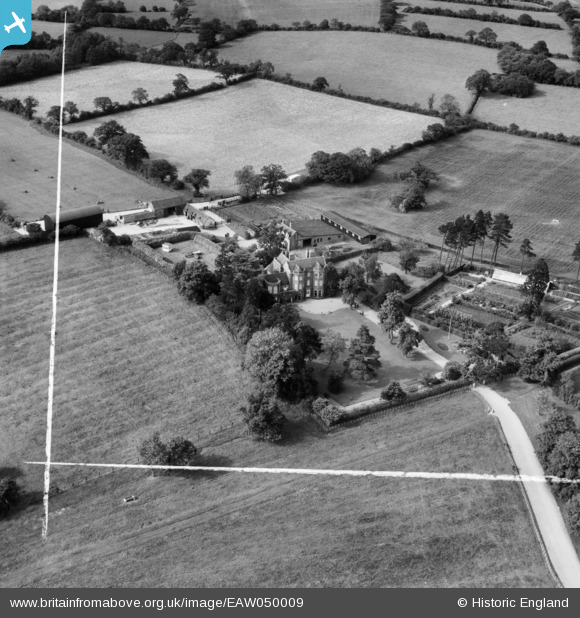
EAW050009 ENGLAND (1953). Aylesbury House, Lapworth, 1953. This image was marked by Aerofilms Ltd for photo editing.
© Copyright OpenStreetMap contributors and licensed by the OpenStreetMap Foundation. 2026. Cartography is licensed as CC BY-SA.
Nearby Images (7)
EAW050009

EAW050011

EAW050008

EAW050010

EAW050012

EAW050015

EAW050013

Details
| Title | [EAW050009] Aylesbury House, Lapworth, 1953. This image was marked by Aerofilms Ltd for photo editing. |
| Reference | EAW050009 |
| Date | 18-June-1953 |
| Link | |
| Place name | LAPWORTH |
| Parish | LAPWORTH |
| District | |
| Country | ENGLAND |
| Easting / Northing | 415680, 273272 |
| Longitude / Latitude | -1.7697390717377, 52.356901205331 |
| National Grid Reference | SP157733 |
Pins
Be the first to add a comment to this image!