
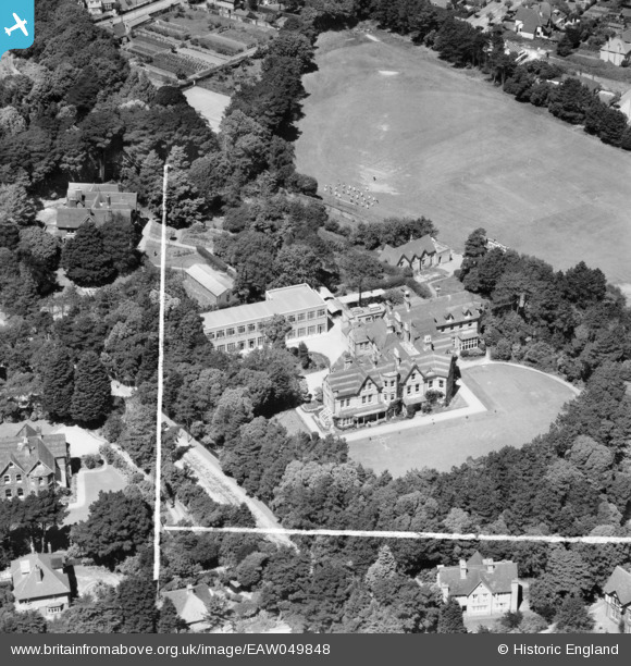
EAW049848 ENGLAND (1953). St Peter's School on St Catherine's Road, Southbourne, 1953. This image was marked by Aerofilms Ltd for photo editing.
© Copyright OpenStreetMap contributors and licensed by the OpenStreetMap Foundation. 2025. Cartography is licensed as CC BY-SA.
Nearby Images (8)
EAW049848

EAW049847

EAW049851

EAW049850

EAW049849

EAW049854

EAW049853

EAW049852

Details
| Title | [EAW049848] St Peter's School on St Catherine's Road, Southbourne, 1953. This image was marked by Aerofilms Ltd for photo editing. |
| Reference | EAW049848 |
| Date | 9-July-1953 |
| Link | |
| Place name | SOUTHBOURNE |
| Parish | |
| District | |
| Country | ENGLAND |
| Easting / Northing | 414716, 91560 |
| Longitude / Latitude | -1.7914987991417, 50.722903618678 |
| National Grid Reference | SZ147916 |
Pins
Be the first to add a comment to this image!