
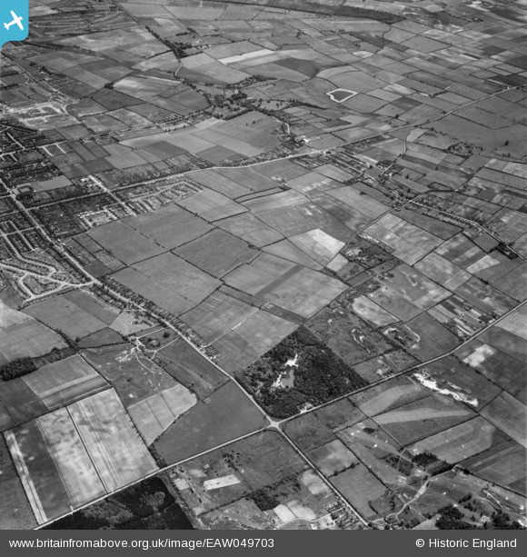
EAW049703 ENGLAND (1953). Common Plantation and the site for the Riddings Estate, Scunthorpe, 1953
© Copyright OpenStreetMap contributors and licensed by the OpenStreetMap Foundation. 2026. Cartography is licensed as CC BY-SA.
Nearby Images (4)
EAW049703

EAW049699

EAW049702

EAW049710

Details
| Title | [EAW049703] Common Plantation and the site for the Riddings Estate, Scunthorpe, 1953 |
| Reference | EAW049703 |
| Date | 24-May-1953 |
| Link | |
| Place name | SCUNTHORPE |
| Parish | |
| District | |
| Country | ENGLAND |
| Easting / Northing | 488207, 407931 |
| Longitude / Latitude | -0.66817485606677, 53.560332595479 |
| National Grid Reference | SE882079 |
Pins

Fred |
Tuesday 6th of August 2019 10:07:06 AM | |
|
redmist |
Saturday 2nd of February 2019 10:44:45 PM | |
|
Ludwig58 |
Thursday 2nd of November 2017 02:41:07 PM |