
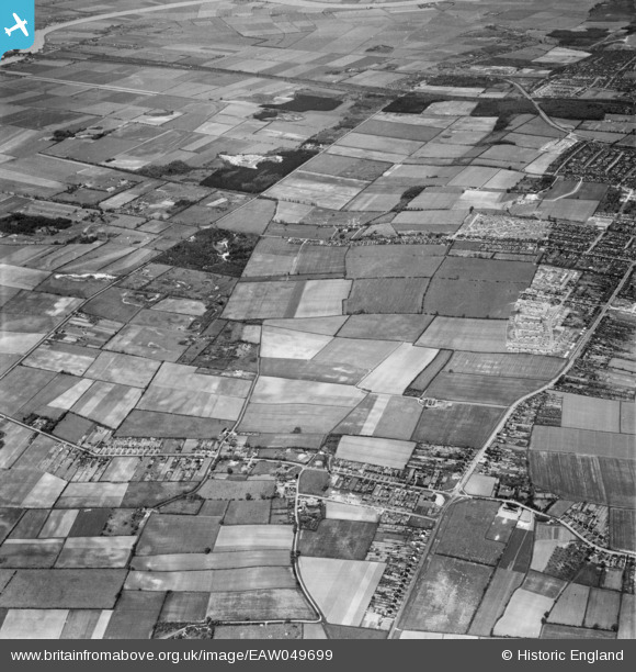
EAW049699 ENGLAND (1953). Messingham Road and the site for the Riddings Estate, Scunthorpe, 1953
© Copyright OpenStreetMap contributors and licensed by the OpenStreetMap Foundation. 2026. Cartography is licensed as CC BY-SA.
Nearby Images (5)
EAW049699

EAW049702

EAW049703

EAW049710

EAW049698

Details
| Title | [EAW049699] Messingham Road and the site for the Riddings Estate, Scunthorpe, 1953 |
| Reference | EAW049699 |
| Date | 24-May-1953 |
| Link | |
| Place name | SCUNTHORPE |
| Parish | |
| District | |
| Country | ENGLAND |
| Easting / Northing | 488211, 407827 |
| Longitude / Latitude | -0.6681438398896, 53.559397281282 |
| National Grid Reference | SE882078 |
Pins
Be the first to add a comment to this image!