
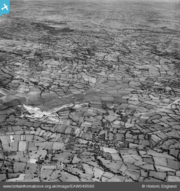
EAW049560 ENGLAND (1953). The Chew Valley and the site of Chew Valley Lake prior to filling, Chew Stoke, from the north-west, 1953
© Copyright OpenStreetMap contributors and licensed by the OpenStreetMap Foundation. 2026. Cartography is licensed as CC BY-SA.
Nearby Images (2)
EAW049560

EAW027297

Details
| Title | [EAW049560] The Chew Valley and the site of Chew Valley Lake prior to filling, Chew Stoke, from the north-west, 1953 |
| Reference | EAW049560 |
| Date | 26-May-1953 |
| Link | |
| Place name | CHEW STOKE |
| Parish | CHEW STOKE |
| District | |
| Country | ENGLAND |
| Easting / Northing | 356235, 161426 |
| Longitude / Latitude | -2.6285023383625, 51.349724466995 |
| National Grid Reference | ST562614 |
Pins

Dennis |
Tuesday 16th of March 2021 09:00:00 AM |