
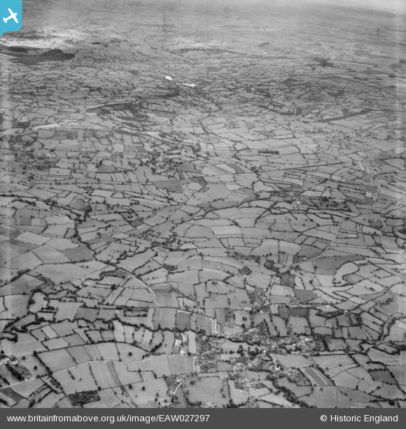
EAW027297 ENGLAND (1949). The site of Chew Valley Lake, Chew Stoke, from the north-west, 1949
© Copyright OpenStreetMap contributors and licensed by the OpenStreetMap Foundation. 2026. Cartography is licensed as CC BY-SA.
Nearby Images (2)
EAW027297

EAW049560

Details
| Title | [EAW027297] The site of Chew Valley Lake, Chew Stoke, from the north-west, 1949 |
| Reference | EAW027297 |
| Date | 19-October-1949 |
| Link | |
| Place name | CHEW STOKE |
| Parish | CHEW STOKE |
| District | |
| Country | ENGLAND |
| Easting / Northing | 356301, 161193 |
| Longitude / Latitude | -2.6275259641323, 51.347634365106 |
| National Grid Reference | ST563612 |
Pins

Class31 |
Wednesday 19th of March 2014 11:30:13 AM | |
|
Class31 |
Wednesday 19th of March 2014 11:29:30 AM | |
|
Class31 |
Wednesday 19th of March 2014 11:28:56 AM | |
|
Class31 |
Wednesday 19th of March 2014 11:25:05 AM | |
|
Class31 |
Wednesday 19th of March 2014 11:22:37 AM | |
|
Class31 |
Monday 17th of March 2014 11:12:30 AM |
