
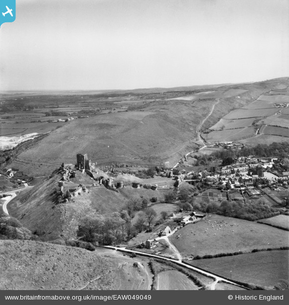
EAW049049 ENGLAND (1953). The remains of Corfe Castle, Challow Hill and the village, Corfe Castle, from the west, 1953
© Copyright OpenStreetMap contributors and licensed by the OpenStreetMap Foundation. 2026. Cartography is licensed as CC BY-SA.
Nearby Images (14)
EAW049049

EAW047099

EAW049050

EAW047097

EPW013657

EAW047100

EPW013656

EPW000280

EAW047102

EPW013654

EAW047101

EAW047098

EAW049048

EAW049046

Details
| Title | [EAW049049] The remains of Corfe Castle, Challow Hill and the village, Corfe Castle, from the west, 1953 |
| Reference | EAW049049 |
| Date | 4-May-1953 |
| Link | |
| Place name | CORFE CASTLE |
| Parish | CORFE CASTLE |
| District | |
| Country | ENGLAND |
| Easting / Northing | 395890, 82196 |
| Longitude / Latitude | -2.0581279115286, 50.638857878221 |
| National Grid Reference | SY959822 |
Pins
Be the first to add a comment to this image!
User Comment Contributions

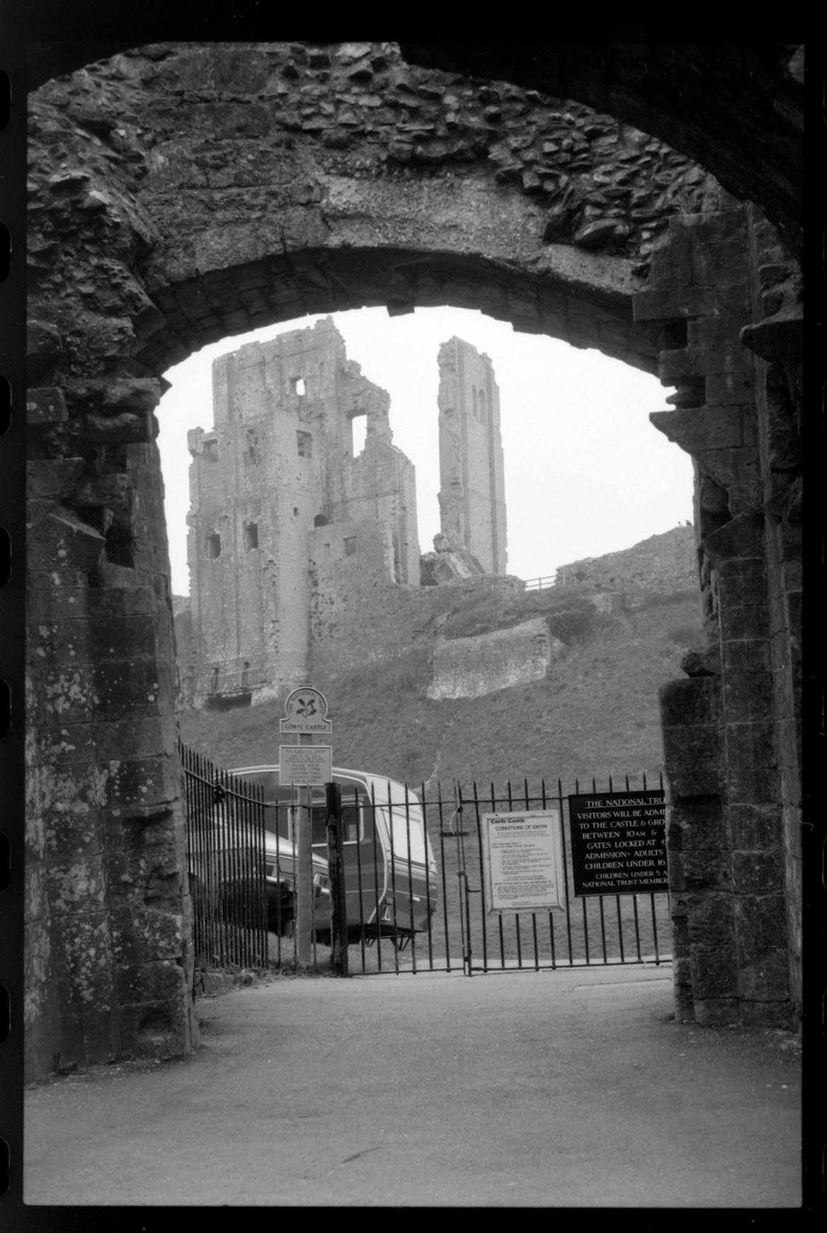
Corfe Castle 1984 |

Alan McFaden |
Saturday 1st of November 2014 10:28:22 AM |
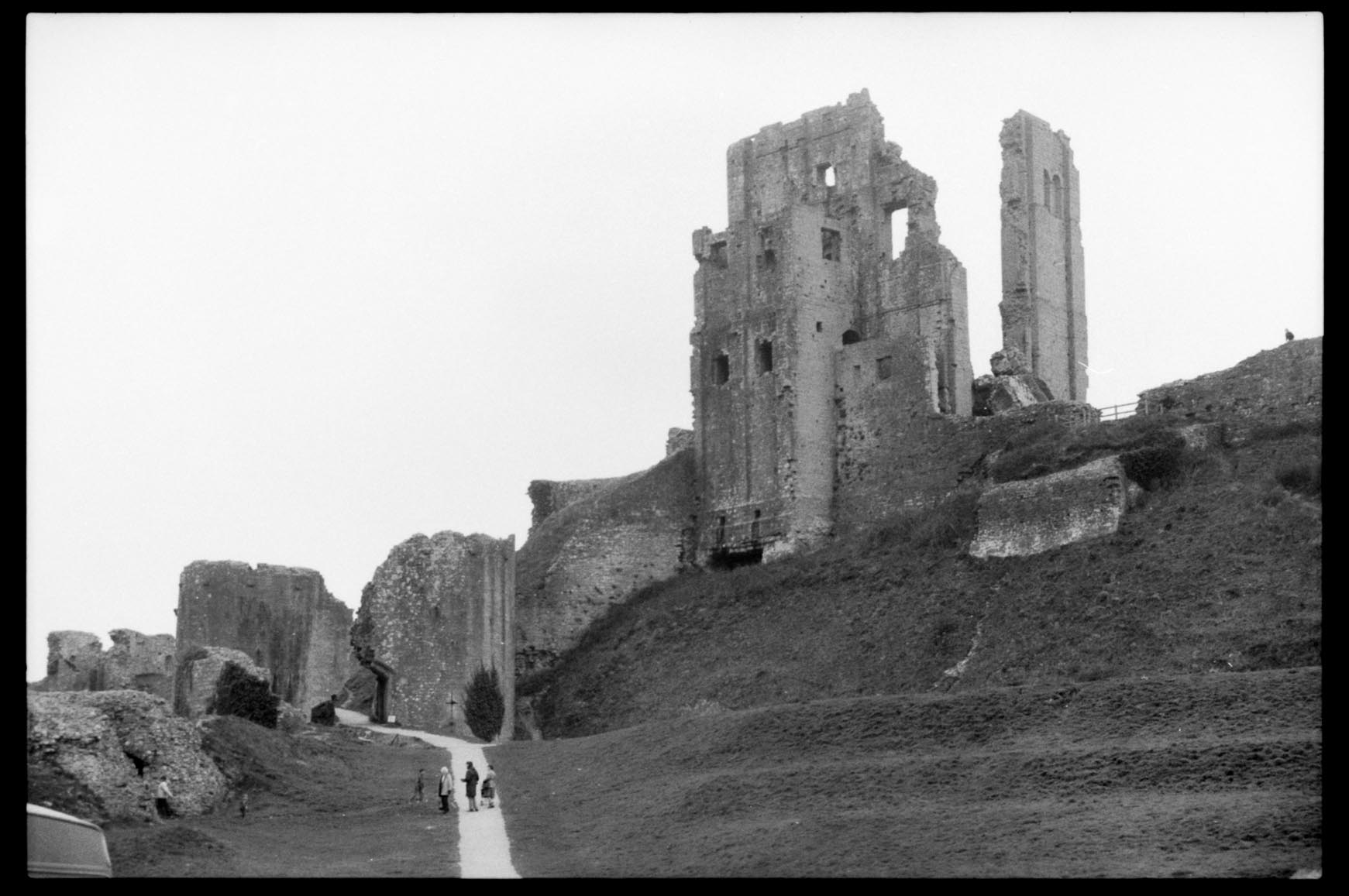
Corfe Castle 1984 |
Alan McFaden |
Saturday 1st of November 2014 10:28:03 AM |
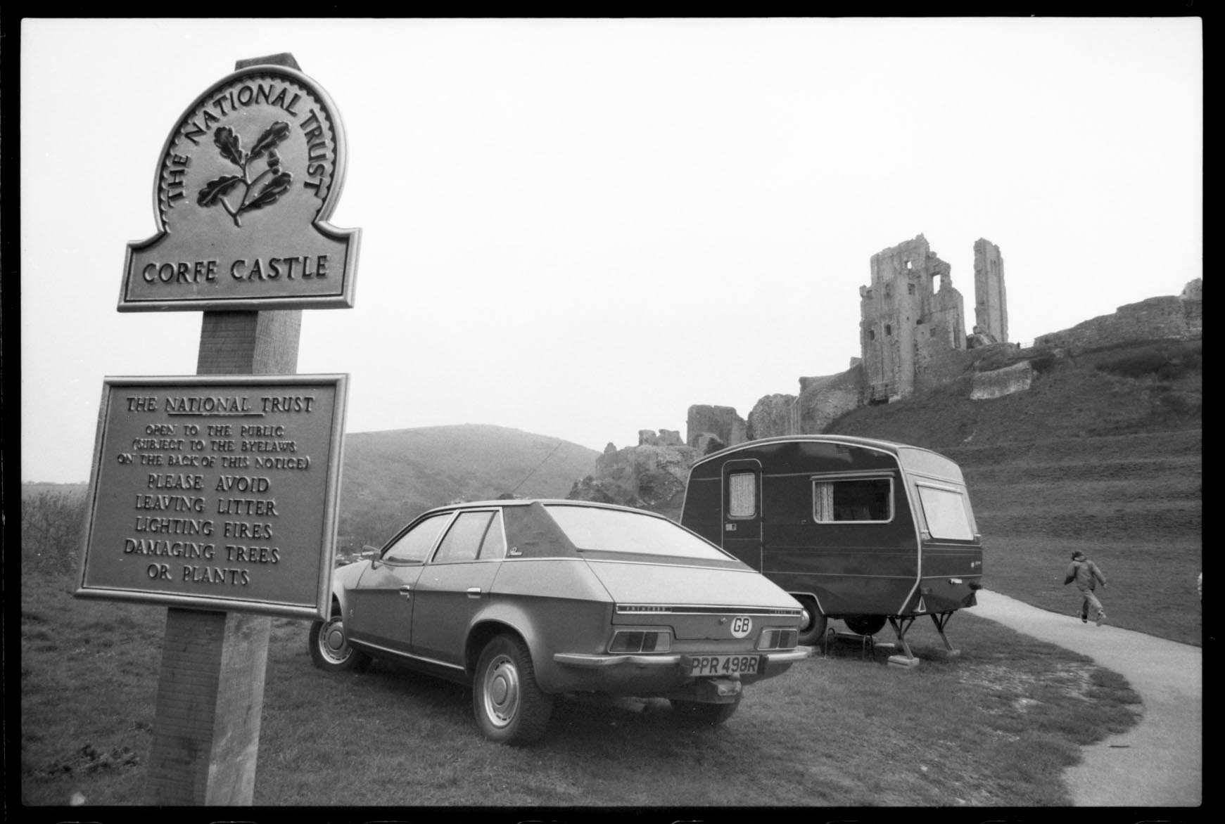
Corfe Castle 1984 |
Alan McFaden |
Saturday 1st of November 2014 10:27:45 AM |
Corfe Castle 1984 |
Alan McFaden |
Saturday 1st of November 2014 10:27:27 AM |