
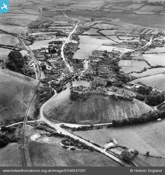
EAW047097 ENGLAND (1952). Corfe Castle and the village, Corfe Castle, 1952
© Copyright OpenStreetMap contributors and licensed by the OpenStreetMap Foundation. 2026. Cartography is licensed as CC BY-SA.
Nearby Images (14)
EAW047097

EPW013657

EPW000280

EPW013656

EAW047099

EAW047102

EAW049050

EAW049049

EAW047100

EAW047098

EAW047101

EPW013654

EAW049046

EAW049048

Details
| Title | [EAW047097] Corfe Castle and the village, Corfe Castle, 1952 |
| Reference | EAW047097 |
| Date | 7-October-1952 |
| Link | |
| Place name | CORFE CASTLE |
| Parish | CORFE CASTLE |
| District | |
| Country | ENGLAND |
| Easting / Northing | 395957, 82241 |
| Longitude / Latitude | -2.0571808191607, 50.639263069373 |
| National Grid Reference | SY960822 |
Pins

John W |
Thursday 12th of May 2016 04:58:20 PM |
User Comment Contributions

Corfe Castle 1984 |

Alan McFaden |
Saturday 1st of November 2014 10:41:19 AM |

Corfe Castle 1984 |
Alan McFaden |
Saturday 1st of November 2014 10:40:56 AM |
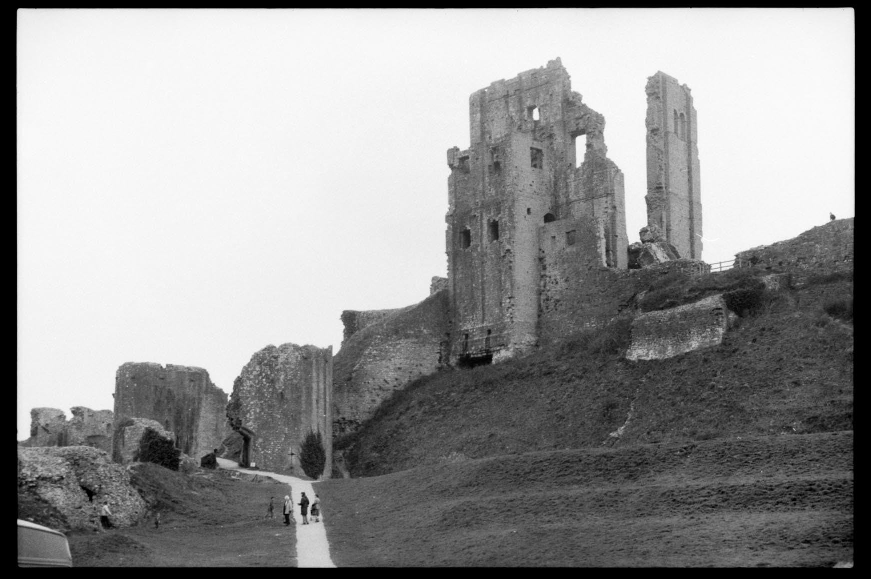
Corfe Castle 1984 |
Alan McFaden |
Saturday 1st of November 2014 10:40:37 AM |

Corfe Castle 1984 |
Alan McFaden |
Saturday 1st of November 2014 10:40:16 AM |