
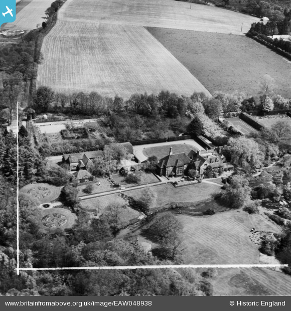
EAW048938 ENGLAND (1953). Waterside Farm (Passfield Manor), Liphook, 1953. This image was marked by Aerofilms Ltd for photo editing.
© Copyright OpenStreetMap contributors and licensed by the OpenStreetMap Foundation. 2026. Cartography is licensed as CC BY-SA.
Nearby Images (10)
EAW048938

 0°
0m
0°
0m
EAW048937
 34°
3m
34°
3m
EAW047759
 214°
7m
214°
7m
EAW047760
 45°
8m
45°
8m
EAW047762
 223°
16m
223°
16m
EAW047761
 163°
28m
163°
28m
EAW047758
 215°
43m
215°
43m
EAW048940
 182°
48m
182°
48m
EAW048939
 25°
64m
25°
64m
EAW049000
 208°
110m
208°
110m
Details
| Title | [EAW048938] Waterside Farm (Passfield Manor), Liphook, 1953. This image was marked by Aerofilms Ltd for photo editing. |
| Reference | EAW048938 |
| Date | 5-May-1953 |
| Link | |
| Place name | LIPHOOK |
| Parish | BRAMSHOTT AND LIPHOOK |
| District | |
| Country | ENGLAND |
| Easting / Northing | 482839, 133706 |
| Longitude / Latitude | -0.81686839382153, 51.096140244299 |
| National Grid Reference | SU828337 |
 Tennis Court