
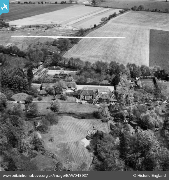
EAW048937 ENGLAND (1953). Waterside Farm (Passfield Manor), Liphook, 1953. This image was marked by Aerofilms Ltd for photo editing.
© Copyright OpenStreetMap contributors and licensed by the OpenStreetMap Foundation. 2026. Cartography is licensed as CC BY-SA.
Nearby Images (10)
EAW048937

 0°
0m
0°
0m
EAW048938
 214°
3m
214°
3m
EAW047760
 53°
5m
53°
5m
EAW047759
 214°
10m
214°
10m
EAW047762
 221°
19m
221°
19m
EAW047761
 169°
30m
169°
30m
EAW047758
 215°
47m
215°
47m
EAW048940
 184°
51m
184°
51m
EAW048939
 24°
61m
24°
61m
EAW049000
 208°
114m
208°
114m
Details
| Title | [EAW048937] Waterside Farm (Passfield Manor), Liphook, 1953. This image was marked by Aerofilms Ltd for photo editing. |
| Reference | EAW048937 |
| Date | 5-May-1953 |
| Link | |
| Place name | LIPHOOK |
| Parish | BRAMSHOTT AND LIPHOOK |
| District | |
| Country | ENGLAND |
| Easting / Northing | 482841, 133709 |
| Longitude / Latitude | -0.81683914725476, 51.096166928913 |
| National Grid Reference | SU828337 |
Pins
 River Wey River Wey |

totoro |
Tuesday 26th of August 2014 06:22:09 PM |