
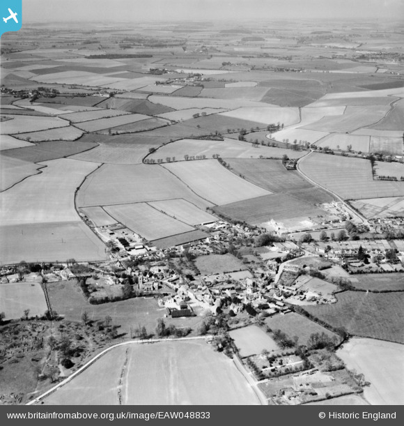
EAW048833 ENGLAND (1953). The village, Steeple Bumpstead, from the south-east, 1953
© Copyright OpenStreetMap contributors and licensed by the OpenStreetMap Foundation. 2026. Cartography is licensed as CC BY-SA.
Nearby Images (3)
EAW048833

EAW051109

EAW051110

Details
| Title | [EAW048833] The village, Steeple Bumpstead, from the south-east, 1953 |
| Reference | EAW048833 |
| Date | 23-April-1953 |
| Link | |
| Place name | STEEPLE BUMPSTEAD |
| Parish | STEEPLE BUMPSTEAD |
| District | |
| Country | ENGLAND |
| Easting / Northing | 567959, 241136 |
| Longitude / Latitude | 0.4493274136009, 52.042718549512 |
| National Grid Reference | TL680411 |
Pins

Matt Aldred edob.mattaldred.com |
Tuesday 16th of April 2019 01:48:48 PM |