
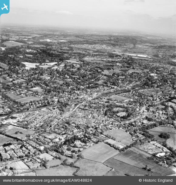
EAW048824 ENGLAND (1953). The town, Reigate, from the south-west, 1953
© Copyright OpenStreetMap contributors and licensed by the OpenStreetMap Foundation. 2026. Cartography is licensed as CC BY-SA.
Nearby Images (3)
EAW048824

EAW008245

EAW048823

Details
| Title | [EAW048824] The town, Reigate, from the south-west, 1953 |
| Reference | EAW048824 |
| Date | 26-April-1953 |
| Link | |
| Place name | REIGATE |
| Parish | |
| District | |
| Country | ENGLAND |
| Easting / Northing | 524854, 150316 |
| Longitude / Latitude | -0.21128946424543, 51.237832033982 |
| National Grid Reference | TQ249503 |
Pins

Arthur |
Saturday 11th of June 2016 12:28:32 PM |