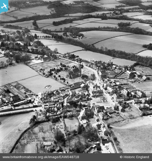
EAW048718 ENGLAND (1953). St Mary's Church and the village, Ticehurst, 1953
© Copyright OpenStreetMap contributors and licensed by the OpenStreetMap Foundation. 2025. Cartography is licensed as CC BY-SA.
Details
| Title | [EAW048718] St Mary's Church and the village, Ticehurst, 1953 |
| Reference | EAW048718 |
| Date | 8-April-1953 |
| Link | |
| Place name | TICEHURST |
| Parish | TICEHURST |
| District | |
| Country | ENGLAND |
| Easting / Northing | 568878, 130110 |
| Longitude / Latitude | 0.40941933269064, 51.044947685776 |
| National Grid Reference | TQ689301 |
Pins
Be the first to add a comment to this image!


![[EAW048718] St Mary's Church and the village, Ticehurst, 1953](http://britainfromabove.org.uk/sites/all/libraries/aerofilms-images/public/100x100/EAW/048/EAW048718.jpg)
![[EAW048717] St Mary's Church and the village, Ticehurst, 1953. This image has been produced from a print.](http://britainfromabove.org.uk/sites/all/libraries/aerofilms-images/public/100x100/EAW/048/EAW048717.jpg)
![[EAW048716] The village, Ticehurst, 1953](http://britainfromabove.org.uk/sites/all/libraries/aerofilms-images/public/100x100/EAW/048/EAW048716.jpg)