
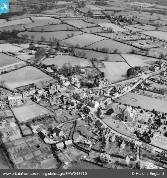
EAW048716 ENGLAND (1953). The village, Ticehurst, 1953
© Copyright OpenStreetMap contributors and licensed by the OpenStreetMap Foundation. 2025. Cartography is licensed as CC BY-SA.
Nearby Images (3)
EAW048716

EAW048717

EAW048718

Details
| Title | [EAW048716] The village, Ticehurst, 1953 |
| Reference | EAW048716 |
| Date | 8-April-1953 |
| Link | |
| Place name | TICEHURST |
| Parish | TICEHURST |
| District | |
| Country | ENGLAND |
| Easting / Northing | 568957, 130223 |
| Longitude / Latitude | 0.410598104092, 51.045939786084 |
| National Grid Reference | TQ690302 |
Pins
Be the first to add a comment to this image!