
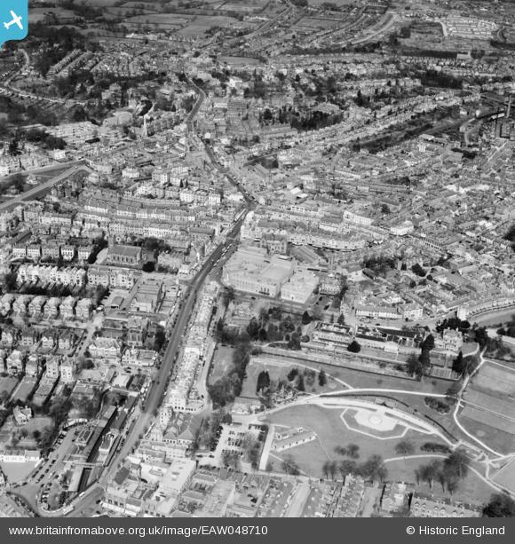
EAW048710 ENGLAND (1953). The town centre, Royal Tunbridge Wells, 1953
© Copyright OpenStreetMap contributors and licensed by the OpenStreetMap Foundation. 2026. Cartography is licensed as CC BY-SA.
Nearby Images (7)
EAW048710

EPW059226

EPW001432

EPR000439

EAW048709

EPW011454

EPW016894

Details
| Title | [EAW048710] The town centre, Royal Tunbridge Wells, 1953 |
| Reference | EAW048710 |
| Date | 8-April-1953 |
| Link | |
| Place name | ROYAL TUNBRIDGE WELLS |
| Parish | |
| District | |
| Country | ENGLAND |
| Easting / Northing | 558513, 139501 |
| Longitude / Latitude | 0.26578880044977, 51.132290309227 |
| National Grid Reference | TQ585395 |
Pins

Simon |
Tuesday 19th of November 2024 01:07:25 PM | |
|
Stu Giles |
Tuesday 15th of May 2018 08:22:15 PM | |

Alan McFaden |
Sunday 14th of December 2014 04:11:53 PM |
