
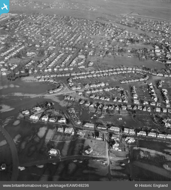
EAW048236 ENGLAND (1953). Flooding around The Parkway and The Driveway, Canvey Island, 1953
© Copyright OpenStreetMap contributors and licensed by the OpenStreetMap Foundation. 2026. Cartography is licensed as CC BY-SA.
Nearby Images (6)
EAW048236

EAW045305

EAW045306

EAW051024

EAW045304

EAW051023

Details
| Title | [EAW048236] Flooding around The Parkway and The Driveway, Canvey Island, 1953 |
| Reference | EAW048236 |
| Date | 2-February-1953 |
| Link | |
| Place name | CANVEY ISLAND |
| Parish | CANVEY ISLAND |
| District | |
| Country | ENGLAND |
| Easting / Northing | 579717, 182899 |
| Longitude / Latitude | 0.59045530867467, 51.515901729609 |
| National Grid Reference | TQ797829 |
Pins
Be the first to add a comment to this image!