
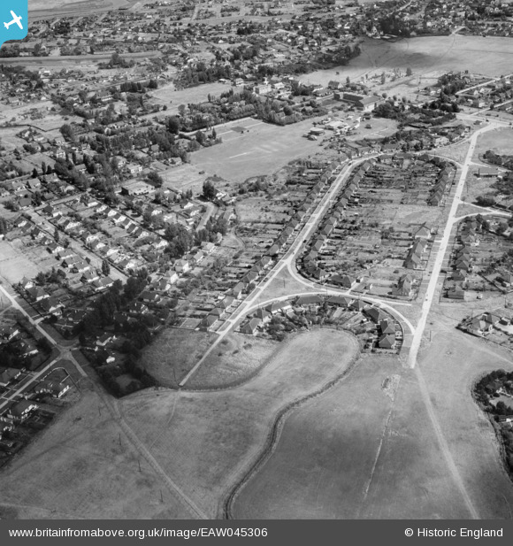
EAW045306 ENGLAND (1952). Housing around The Driveway and the Paddocks Recreation Ground, Canvey Island, 1952
© Copyright OpenStreetMap contributors and licensed by the OpenStreetMap Foundation. 2026. Cartography is licensed as CC BY-SA.
Nearby Images (7)
EAW045306

EAW051024

EAW048236

EAW045305

EAW051025

EAW045307

EAW051023

Details
| Title | [EAW045306] Housing around The Driveway and the Paddocks Recreation Ground, Canvey Island, 1952 |
| Reference | EAW045306 |
| Date | 2-August-1952 |
| Link | |
| Place name | CANVEY ISLAND |
| Parish | CANVEY ISLAND |
| District | |
| Country | ENGLAND |
| Easting / Northing | 579632, 183009 |
| Longitude / Latitude | 0.58928752397827, 51.516916927692 |
| National Grid Reference | TQ796830 |
Pins
Be the first to add a comment to this image!