
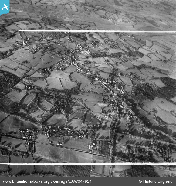
EAW047914 ENGLAND (1952). The village, Northiam, 1952. This image was marked by Aerofilms Ltd for photo editing.
© Copyright OpenStreetMap contributors and licensed by the OpenStreetMap Foundation. 2026. Cartography is licensed as CC BY-SA.
Nearby Images (2)
EAW047914

EAW047911

Details
| Title | [EAW047914] The village, Northiam, 1952. This image was marked by Aerofilms Ltd for photo editing. |
| Reference | EAW047914 |
| Date | 24-November-1952 |
| Link | |
| Place name | NORTHIAM |
| Parish | NORTHIAM |
| District | |
| Country | ENGLAND |
| Easting / Northing | 582740, 124322 |
| Longitude / Latitude | 0.60406477890373, 50.988706238838 |
| National Grid Reference | TQ827243 |


