
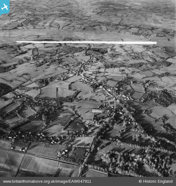
EAW047911 ENGLAND (1952). The village, Northiam, 1952. This image was marked by Aerofilms Ltd for photo editing.
© Copyright OpenStreetMap contributors and licensed by the OpenStreetMap Foundation. 2026. Cartography is licensed as CC BY-SA.
Nearby Images (2)
EAW047911

EAW047914

Details
| Title | [EAW047911] The village, Northiam, 1952. This image was marked by Aerofilms Ltd for photo editing. |
| Reference | EAW047911 |
| Date | 24-November-1952 |
| Link | |
| Place name | NORTHIAM |
| Parish | NORTHIAM |
| District | |
| Country | ENGLAND |
| Easting / Northing | 582734, 124466 |
| Longitude / Latitude | 0.60405181046261, 50.990001839303 |
| National Grid Reference | TQ827245 |


