
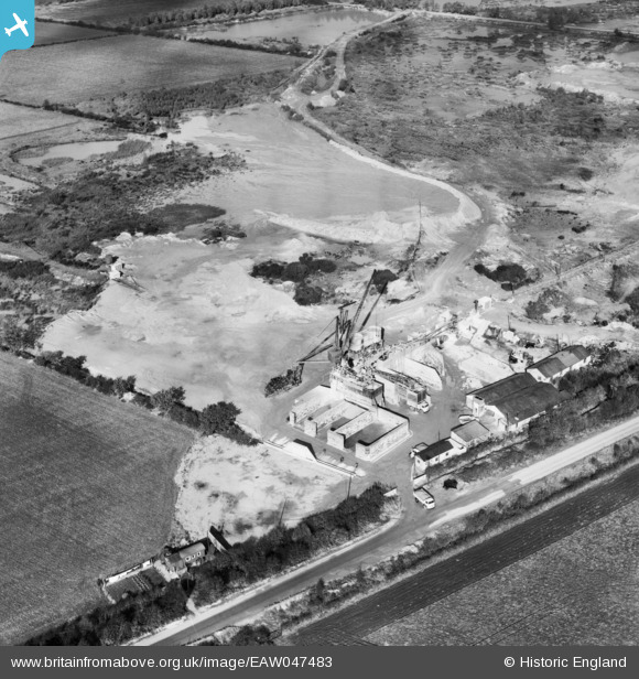
EAW047483 ENGLAND (1952). Quarry off Wroot Road, Blaxton, 1952
© Copyright OpenStreetMap contributors and licensed by the OpenStreetMap Foundation. 2025. Cartography is licensed as CC BY-SA.
Nearby Images (16)
EAW047483

EAW047486

EAW047488

EAW043520

EAW047484

EAW047487

EAW043528

EAW047485

EAW043519

EAW047480

EAW043531

EAW047476

EAW047481

EAW047479

EAW049676

EAW043529

Details
| Title | [EAW047483] Quarry off Wroot Road, Blaxton, 1952 |
| Reference | EAW047483 |
| Date | 10-October-1952 |
| Link | |
| Place name | BLAXTON |
| Parish | FINNINGLEY |
| District | |
| Country | ENGLAND |
| Easting / Northing | 468721, 400785 |
| Longitude / Latitude | -0.96389975671254, 53.499018500821 |
| National Grid Reference | SE687008 |
Pins
Be the first to add a comment to this image!