
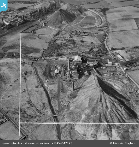
EAW047398 ENGLAND (1952). Darfield Main Colliery, Darfield, 1952. This image was marked by Aerofilms Ltd for photo editing.
© Copyright OpenStreetMap contributors and licensed by the OpenStreetMap Foundation. 2026. Cartography is licensed as CC BY-SA.
Nearby Images (11)
EAW047398

EAW047396

EAW047397

EAW047389

EAW047393

EAW047391

EPW015404

EAW047394

EAW047390

EAW047392

EAW047395

Details
| Title | [EAW047398] Darfield Main Colliery, Darfield, 1952. This image was marked by Aerofilms Ltd for photo editing. |
| Reference | EAW047398 |
| Date | 10-October-1952 |
| Link | |
| Place name | DARFIELD |
| Parish | |
| District | |
| Country | ENGLAND |
| Easting / Northing | 440163, 403903 |
| Longitude / Latitude | -1.3940305623138, 53.530002402501 |
| National Grid Reference | SE402039 |
Pins
Be the first to add a comment to this image!