
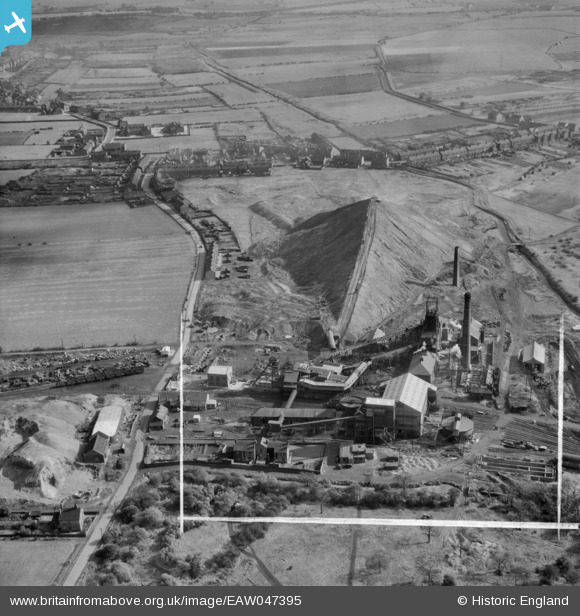
EAW047395 ENGLAND (1952). Darfield Main Colliery, Darfield, 1952. This image was marked by Aerofilms Ltd for photo editing.
© Copyright OpenStreetMap contributors and licensed by the OpenStreetMap Foundation. 2026. Cartography is licensed as CC BY-SA.
Nearby Images (7)
EAW047395

EAW047397

EAW047389

EAW047391

EAW047396

EAW047398

EPW015404

Details
| Title | [EAW047395] Darfield Main Colliery, Darfield, 1952. This image was marked by Aerofilms Ltd for photo editing. |
| Reference | EAW047395 |
| Date | 10-October-1952 |
| Link | |
| Place name | DARFIELD |
| Parish | |
| District | |
| Country | ENGLAND |
| Easting / Northing | 440360, 403988 |
| Longitude / Latitude | -1.3910474980221, 53.530751361348 |
| National Grid Reference | SE404040 |
Pins

klowe |
Wednesday 9th of May 2018 09:58:05 PM |