
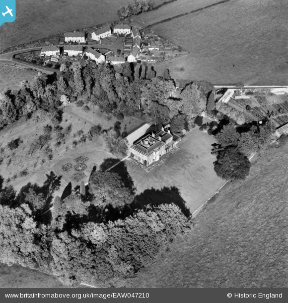
EAW047210 ENGLAND (1952). Parish's House, Timsbury, 1952
© Copyright OpenStreetMap contributors and licensed by the OpenStreetMap Foundation. 2024. Cartography is licensed as CC BY-SA.
Nearby Images (4)
EAW047210

EAW047209

EAW047208

EAW047211

Details
| Title | [EAW047210] Parish's House, Timsbury, 1952 |
| Reference | EAW047210 |
| Date | 9-October-1952 |
| Link | |
| Place name | TIMSBURY |
| Parish | TIMSBURY |
| District | |
| Country | ENGLAND |
| Easting / Northing | 367320, 158712 |
| Longitude / Latitude | -2.4690699344451, 51.326064774855 |
| National Grid Reference | ST673587 |
Pins
Be the first to add a comment to this image!