
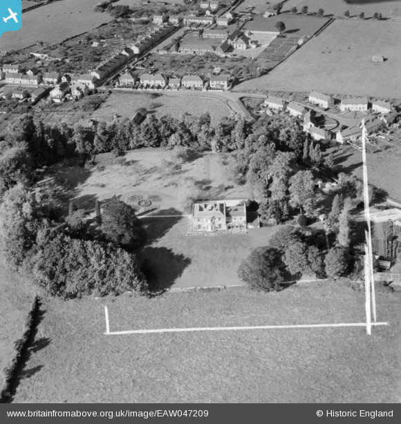
EAW047209 ENGLAND (1952). Parish's House, Timsbury, 1952. This image was marked by Aerofilms Ltd for photo editing.
© Copyright OpenStreetMap contributors and licensed by the OpenStreetMap Foundation. 2024. Cartography is licensed as CC BY-SA.
Nearby Images (4)
EAW047209

EAW047208

EAW047210

EAW047211

Details
| Title | [EAW047209] Parish's House, Timsbury, 1952. This image was marked by Aerofilms Ltd for photo editing. |
| Reference | EAW047209 |
| Date | 9-October-1952 |
| Link | |
| Place name | TIMSBURY |
| Parish | TIMSBURY |
| District | |
| Country | ENGLAND |
| Easting / Northing | 367309, 158731 |
| Longitude / Latitude | -2.4692295600863, 51.326234999476 |
| National Grid Reference | ST673587 |


