
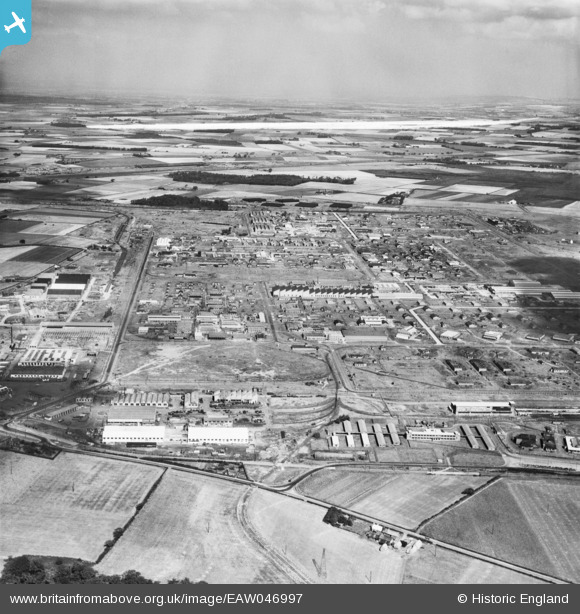
EAW046997 ENGLAND (1952). Kirkby Industrial Estate, Kirkby, from the south-west, 1952. This image was marked by Aerofilms Ltd for photo editing.
© Copyright OpenStreetMap contributors and licensed by the OpenStreetMap Foundation. 2026. Cartography is licensed as CC BY-SA.
Nearby Images (4)
EAW046997

EAW046999

EAW046996

EAW004614
, Kirkby, from the south-west, 1947. This image was marked by Aerofilms Ltd for photo editing.")
Details
| Title | [EAW046997] Kirkby Industrial Estate, Kirkby, from the south-west, 1952. This image was marked by Aerofilms Ltd for photo editing. |
| Reference | EAW046997 |
| Date | 7-September-1952 |
| Link | |
| Place name | KIRKBY |
| Parish | |
| District | |
| Country | ENGLAND |
| Easting / Northing | 342818, 397830 |
| Longitude / Latitude | -2.8616131369678, 53.473838805529 |
| National Grid Reference | SJ428978 |
