
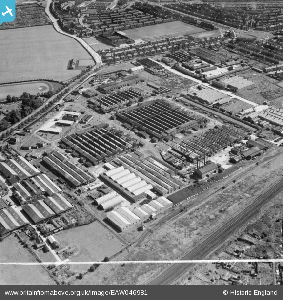
EAW046981 ENGLAND (1952). The Liver Industrial Estate, Liverpool, 1952. This image was marked by Aerofilms Ltd for photo editing.
© Copyright OpenStreetMap contributors and licensed by the OpenStreetMap Foundation. 2026. Cartography is licensed as CC BY-SA.
Nearby Images (10)
EAW046981

EAW005647

EAW005649

EAW046982

EAW005646

EPW057883

EAW005645

EAW046978

EAW005648

EAW046983

Details
| Title | [EAW046981] The Liver Industrial Estate, Liverpool, 1952. This image was marked by Aerofilms Ltd for photo editing. |
| Reference | EAW046981 |
| Date | 7-September-1952 |
| Link | |
| Place name | LIVERPOOL |
| Parish | |
| District | |
| Country | ENGLAND |
| Easting / Northing | 337357, 395579 |
| Longitude / Latitude | -2.9434385575788, 53.452984614664 |
| National Grid Reference | SJ374956 |
Pins

Matt Aldred edob.mattaldred.com |
Friday 28th of March 2025 05:14:12 PM | |

austin |
Sunday 29th of March 2020 07:58:54 PM | |
|
austin |
Sunday 29th of March 2020 07:55:48 PM | |
|
redmist |
Friday 29th of March 2019 05:36:46 PM |