
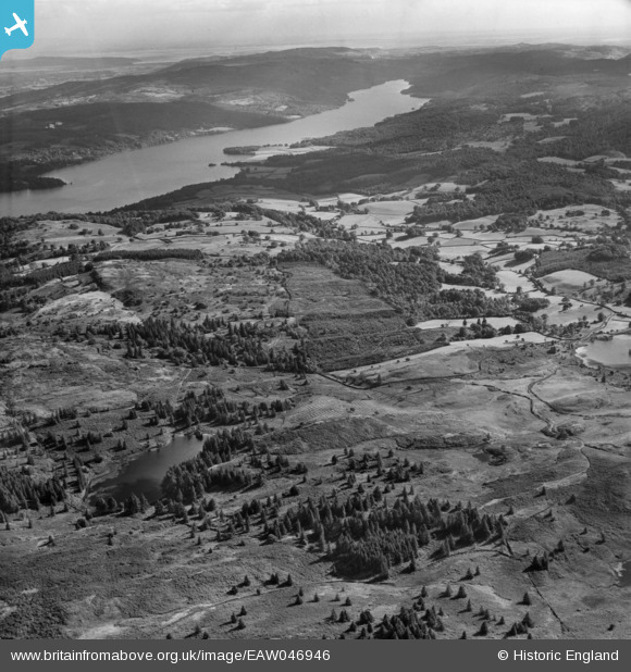
EAW046946 ENGLAND (1952). Claife Heights, the southern end of Windermere and the surrounding countryside, Far Sawrey, from the north, 1952
© Copyright OpenStreetMap contributors and licensed by the OpenStreetMap Foundation. 2026. Cartography is licensed as CC BY-SA.
Nearby Images (6)
EAW046946

EAW035889

EAW035891

EAW037155

EAW037154

EAW035890

Details
| Title | [EAW046946] Claife Heights, the southern end of Windermere and the surrounding countryside, Far Sawrey, from the north, 1952 |
| Reference | EAW046946 |
| Date | 13-September-1952 |
| Link | |
| Place name | FAR SAWREY |
| Parish | CLAIFE |
| District | |
| Country | ENGLAND |
| Easting / Northing | 337647, 497353 |
| Longitude / Latitude | -2.9598197276819, 54.367724030618 |
| National Grid Reference | SD376974 |
Pins
Be the first to add a comment to this image!