
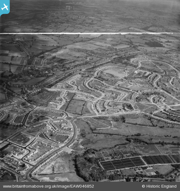
EAW046852 ENGLAND (1952). The residential area at Shard End under construction, Birmingham, from the south-west, 1952. This image was marked by Aerofilms Ltd for photo editing.
© Copyright OpenStreetMap contributors and licensed by the OpenStreetMap Foundation. 2026. Cartography is licensed as CC BY-SA.
Nearby Images (2)
EAW046852

EAW046849

Details
| Title | [EAW046852] The residential area at Shard End under construction, Birmingham, from the south-west, 1952. This image was marked by Aerofilms Ltd for photo editing. |
| Reference | EAW046852 |
| Date | 18-September-1952 |
| Link | |
| Place name | BIRMINGHAM |
| Parish | |
| District | |
| Country | ENGLAND |
| Easting / Northing | 414710, 288727 |
| Longitude / Latitude | -1.7833031010265, 52.495884394154 |
| National Grid Reference | SP147887 |
