
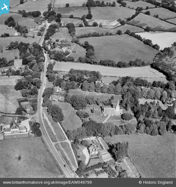
EAW046799 ENGLAND (1952). St Michael's Church and the village, Playden, 1952
© Copyright OpenStreetMap contributors and licensed by the OpenStreetMap Foundation. 2026. Cartography is licensed as CC BY-SA.
Nearby Images (2)
EAW046799

EAW046798

Details
| Title | [EAW046799] St Michael's Church and the village, Playden, 1952 |
| Reference | EAW046799 |
| Date | 16-September-1952 |
| Link | |
| Place name | PLAYDEN |
| Parish | PLAYDEN |
| District | |
| Country | ENGLAND |
| Easting / Northing | 591991, 121747 |
| Longitude / Latitude | 0.73437592296115, 50.962563600954 |
| National Grid Reference | TQ920217 |
Pins
Be the first to add a comment to this image!