
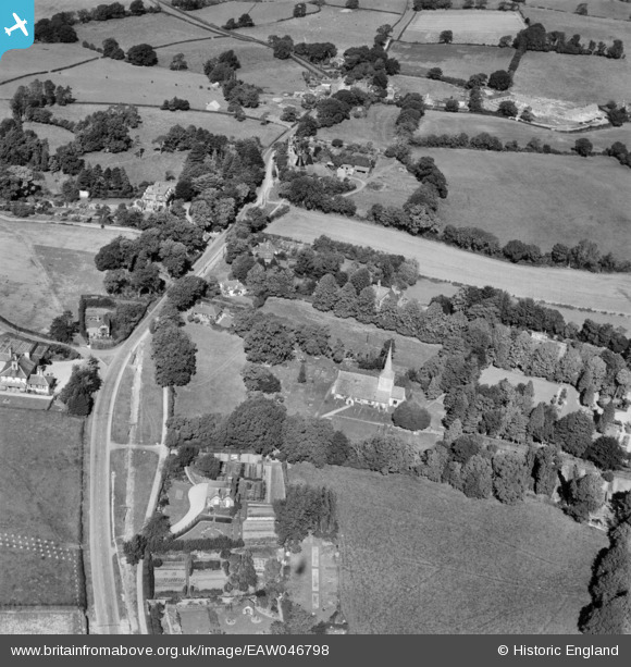
EAW046798 ENGLAND (1952). St Michael's Church and the village, Playden, 1952
© Copyright OpenStreetMap contributors and licensed by the OpenStreetMap Foundation. 2026. Cartography is licensed as CC BY-SA.
Nearby Images (2)
EAW046798

EAW046799

Details
| Title | [EAW046798] St Michael's Church and the village, Playden, 1952 |
| Reference | EAW046798 |
| Date | 16-September-1952 |
| Link | |
| Place name | PLAYDEN |
| Parish | PLAYDEN |
| District | |
| Country | ENGLAND |
| Easting / Northing | 591989, 121729 |
| Longitude / Latitude | 0.73433797477067, 50.962402571919 |
| National Grid Reference | TQ920217 |
Pins

Matt Aldred edob.mattaldred.com |
Monday 26th of January 2026 03:33:13 PM |