
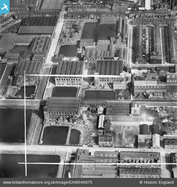
EAW046675 ENGLAND (1952). Mills, reservoirs and rows of terraced houses around Gower Street, Emlyn Street and Thynne Street, Farnworth, 1952. This image was marked by Aerofilms Ltd for photo editing.
© Copyright OpenStreetMap contributors and licensed by the OpenStreetMap Foundation. 2026. Cartography is licensed as CC BY-SA.
Nearby Images (27)
EAW046675

EAW046679

EAW046683

EAW046917

EAW046674

EAW046915

EAW046676

EAW046914

EAW046916

EAW046921

EAW046920

EAW046677

EAW046678

EAW046682

EAW046922

EAW046680

EAW046919

EAW046673

EAW046918

EPW042574

EAW046681

EPW042569

EPW042571

EPW042572

EPW042575

EPW042570

EPW042573

Details
| Title | [EAW046675] Mills, reservoirs and rows of terraced houses around Gower Street, Emlyn Street and Thynne Street, Farnworth, 1952. This image was marked by Aerofilms Ltd for photo editing. |
| Reference | EAW046675 |
| Date | 7-September-1952 |
| Link | |
| Place name | FARNWORTH |
| Parish | |
| District | |
| Country | ENGLAND |
| Easting / Northing | 373300, 406410 |
| Longitude / Latitude | -2.4030639360904, 53.553395063553 |
| National Grid Reference | SD733064 |
Pins
Be the first to add a comment to this image!