
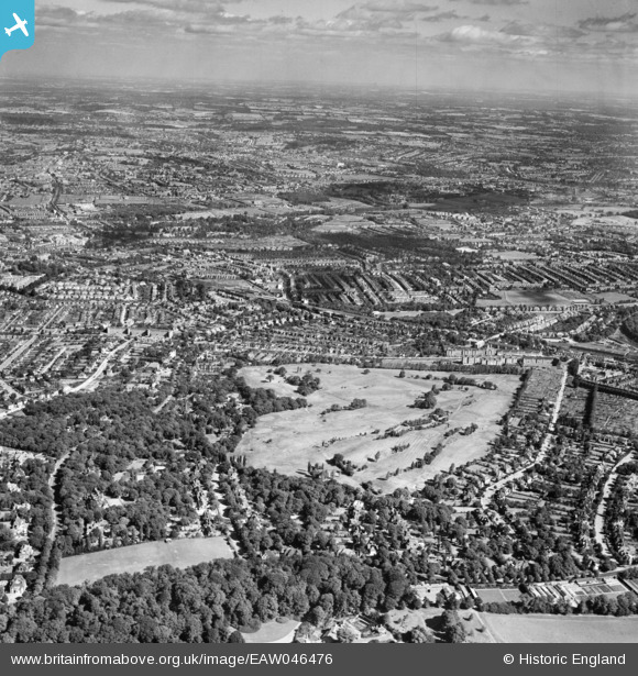
EAW046476 ENGLAND (1952). Highgate Golf Course, East Finchley and environs, Highgate, from the south, 1952
© Copyright OpenStreetMap contributors and licensed by the OpenStreetMap Foundation. 2026. Cartography is licensed as CC BY-SA.
Nearby Images (5)
EAW046476

EPW005116

EPW005115

EPW056793

EPW056796

Details
| Title | [EAW046476] Highgate Golf Course, East Finchley and environs, Highgate, from the south, 1952 |
| Reference | EAW046476 |
| Date | 28-August-1952 |
| Link | |
| Place name | HIGHGATE |
| Parish | |
| District | |
| Country | ENGLAND |
| Easting / Northing | 527204, 188030 |
| Longitude / Latitude | -0.16411195428118, 51.576288669774 |
| National Grid Reference | TQ272880 |
